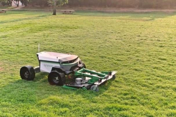
Precision navigation transformed robotic mowers from blind wanderers into intelligent landscape artists.
The global smart lawn mower market is surging toward $4.04 billion by 2028, fueled by a 15.5% CAGR and relentless innovation in navigation technologies. This journey—from primitive boundary wires to sophisticated Simultaneous Localization and Mapping (SLAM) systems—reflects a revolution in how machines perceive and interact with complex outdoor environments. For PCB designers and manufacturers, each leap forward demands new levels of integration, signal integrity, and rugged reliability.
Table of Contents
Ⅰ.The Boundary Wire Era: Constrained but Foundational
The first generation of robotic mowers operated under severe limitations:
•Buried electromagnetic wires: Defined work areas through physical installation, requiring significant time and disruption to gardens
•Random path algorithms: Devices moved haphazardly until hitting a boundary wire, then changed direction
•Zero environmental awareness: No ability to recognize obstacles, slopes, or lawn density variations
While simple to implement electronically, this approach offered no optimization of mowing paths, no avoidance of garden features, and no scalability for complex yards. Installation remained a barrier for many homeowners due to the invasive wiring process.
Ⅱ.The Rise of RTK & Enhanced Vision Systems
Second-generation systems sought to eliminate physical boundaries through technological solutions:
•RTK-GPS (Real-Time Kinematic GPS): Systems like the Segway Navimow X390 achieved centimeter-level accuracy using fixed base stations and rover antennas. This enabled wire-free operation but struggled under tree canopies or near tall structures where satellite signals attenuated. The Segway X390 series addressed large properties (up to 2.5 acres) with 240-minute battery life and integrated 4G cellular connectivity for remote monitoring even in Wi-Fi dead zones. However, the need for precisely positioned external antennas added installation complexity.
•Vision-Assisted Wayfinding: Basic cameras supplemented GPS by recognizing large obstacles or terrain features. Systems like the YT8802 implemented “multi-zone management” through boundary point mapping, allowing defined work areas without wires. Yet these systems lacked true spatial understanding—they navigated between points rather than understanding the environment holistically. Performance degraded significantly in low light or heavy shadow conditions.
Ⅲ.The AI-Vision SLAM Revolution: Contextual Intelligence Emerges
Third-generation robotic mowers leverage advanced AI and SLAM to achieve unprecedented environmental understanding:
•UltraEyes™ 1.0 (MOVA ViAX Series): This breakthrough system employs dual ultra-HD cameras with 50-meter range, 120° horizontal, and 70° vertical FOV. It creates real-time 3D maps distinguishing grass from non-grass surfaces while identifying over 300 object types—from garden hoses to pets. The system enables:
–Virtual boundary creation via smartphone app (deployment in <1 minute)
–Multi-zone management with independent schedules for front/back yards
–Artistic pattern mowing (hearts, squares) through precision path control
–Animal-safe operation modes with slow-speed zones and disturbance-free schedules
•Hybrid Bird’s-Eye View SLAM: Adapted from automotive parking systems, this approach synthesizes images from multiple fisheye cameras into a top-down view. Sophisticated algorithms then:
–Extract structural edges (path borders, driveway lines) using optimized Canny-like detectors
–Filter noise (glare reflections, distorted object edges) through IPM-based segmentation techniques
–Build persistent semantic edge maps for centimeter-precise localization without GPS signals
–Reduce data labeling requirements by 10x compared to pixel-level segmentation methods
Visual SLAM Technology Comparison for Robotic Mowers
| Technology | Positioning Accuracy | Key Advantages | Limitations | PCB Design Implications |
| RTK-GPS | 1-3 cm | Wide-area coverage; No physical boundaries | Signal loss under trees; Requires base station | RF optimization; Antenna integration |
| Bird’s-Eye View SLAM | 2-5 cm | Lower compute needs; Stable in varied light | Limited vertical data; Distortion at edges | High-speed MIPI routing; 6-8 layer HDI |
| AI Stereo Vision (e.g., UltraEyes™) | <5 cm | Rich 3D context; Object recognition | Higher compute load; Night performance | Any-layer HDI; Thermal management |
| Lidar SLAM | 1-3 cm | Precise depth; Lighting-independent | Higher cost; Weather sensitivity | Power integrity for pulsed lasers |
Ⅳ.Inside Modern SLAM: Sensing, Processing & PCB Challenges
Implementing reliable outdoor SLAM demands tightly integrated hardware systems:
•Sensing Suite Evolution:
–Lidar: Emerging as a complementary sensor, modern hemispherical 3D lidar provides 360° horizontal and wide vertical FOV scans. Unlike automotive lidar focused on long range, robotic versions prioritize near-field completeness to avoid close obstacles. Advanced signal processing filters rain/snow reflections for reliable operation in precipitation.
–Multi-spectral Imaging: Combining visible light with IR or depth sensing creates resilient perception across lighting conditions
•Processing Architectures:
–RK3588-based Systems: Octa-core CPUs (4×A76+4×A55) with 6 TOPS NPU handle real-time sensor fusion for complex yards
–Heterogeneous SoCs: Custom architectures like Zhichang Tech’s NoC Fabric connect dedicated perception, planning, and control cores, slashing latency by 40% while shrinking controller footprints
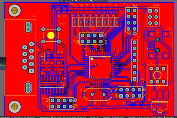
•Critical PCB Design Considerations:
–Impedance Control: MIPI-CSI2 camera interfaces require 100Ω differential pairs with length matching ≤0.1mm. Rogers 4350B laminates minimize loss at 6+ GHz frequencies
–Thermal Management: GaN-based motor drivers demand AlN ceramic substrates (180-260 W/mK) or embedded copper coins to dissipate 15W+ without heatsinks
–Ruggedization: Conformal coatings (IPC-CC-830B) protect against moisture/fertilizers. Anti-vibration BGA pads prevent solder joint fractures during constant movement
–Power Integrity: 28A motor driver pulses need 2oz copper planes with low-impedance paths and optimized loop inductance
Ⅴ.The Future: Multi-Sensor Fusion & Edge Intelligence
Leading-edge systems combine technologies to overcome individual limitations:
•RTK + Vision SLAM Hybrids: GPS provides absolute positioning while vision handles local obstacle avoidance and recovery from signal loss
•Line-Feature Enhanced SLAM: Projects like ORB_Line_SLAM add structural edge tracking to point-based systems, creating richer maps of garden walls, paths, and fences
•Edge AI Inference: On-device models (TensorFlow Lite) enable real-time object classification (“garden hose vs. snake”) without cloud dependency
•Swarm Coordination: 5G-connected fleets share terrain maps and dynamically allocate zones across large estates
Navigation Technology Evolution & PCB Requirements
| Generation | Core Technology | Positioning Method | Limitations | Advanced PCB Solutions |
| 1st Gen | Boundary Wires | Physical containment | Invasive install; No optimization | Simple 2-4 layer; Low-cost FR4 |
| 2nd Gen | RTK-GPS + Basic Vision | Satellite + waypoints | Signal loss; Limited awareness | RF-focused; Impedance control |
| 3rd Gen | AI-Vision SLAM/Lidar | Real-time 3D mapping | Compute intensity; Power demands | Any-layer HDI; Thermal management |
For PCB engineers, this evolution demands increasingly sophisticated solutions:
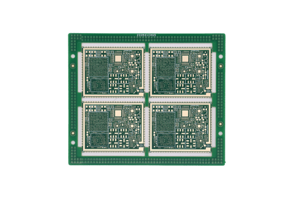
– 12+ Layer HDI Boards: Fan out 0.4mm pitch BGA packages from RK3588/RK3576 processors
– Laser-Drilled Microvias: Achieve 30/30μm trace/space for dense sensor interconnects
– Material Stacking: Combine Rogers laminates for high-speed interfaces with thermal-boosted substrates under power stages
– AEC-Q100/200 Compliance: Ensure reliability across -30°C to 85°C operating ranges for outdoor deployment
The journey from boundary wires to AI-powered SLAM has transformed robotic mowers from simple cutting tools into intelligent landscape partners. As navigation systems evolve toward multi-sensor fusion and edge AI, they demand PCBs that master signal integrity, thermal management, and rugged reliability—enabling machines to not just navigate, but truly understand the ever-changing outdoor world.
Ready to design PCBs for the next navigation breakthrough?
→ [Download Our High-Speed Design Guidelines for Robotic Systems]
→ [Request a Free SLAM-Optimized Stackup Consultation]
→ [Explore Our IPC Class 3 Capabilities]